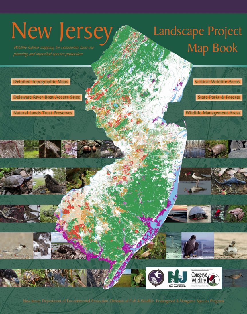
On May 9, 2017, the New Jersey Department of Environmental Protection (NJDEP) released a new version of the Landscape Project mapping (version 3.3). The Landscape Project mapping is used to identify habitat for threatened and endangered species of wildlife in New Jersey. It is used by the NJDEP to establish the width of wetlands transition areas (“buffers”), identify Environmentally Sensitive Areas under the Water Quality Management Planning Rules (N.J.A.C. 7:15), and in making decisions on permit applications under the Freshwater Wetlands, Flood Hazard Area, and Coastal Zone Management permitting programs.
To discuss how the latest version of the NJDEP’s Landscape Project mapping may affect your property or project, please contact Donald Brickner at don.brickner@marathonconsultants.com or 856-241-9705.