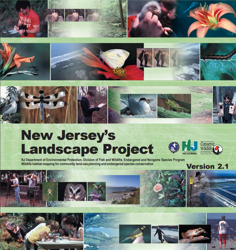
The NJDEP uses the Landscape Project mapping to identify critical wildlife habitat in accordance with land use regulations, including the Freshwater Wetlands Protection Act Rules (N.J.A.C. 7:7A), Flood Hazard Area Control Act Rules (N.J.A.C. 7:13), and Rules on Coastal Zone Management (N.J.A.C. 7:7E). The Landscape Project mapping is one resource used by the NJDEP to establish wetland resource value classifications …
Post Archive by Month
Below you'll find a list of all posts from May, 2008

