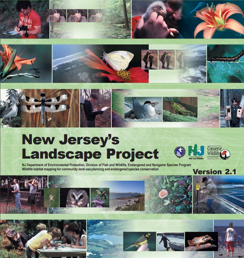
The NJDEP uses the Landscape Project mapping to identify critical wildlife habitat in accordance with land use regulations, including the Freshwater Wetlands Protection Act Rules (N.J.A.C. 7:7A), Flood Hazard Area Control Act Rules (N.J.A.C. 7:13), and Rules on Coastal Zone Management (N.J.A.C. 7:7E). The Landscape Project mapping is one resource used by the NJDEP to establish wetland resource value classifications (wetland buffers).
Recently released versions of the Landscape Project (Versions 2.1 and 3.0) (May 2008) involve several changes to critical habitat mapping that was previously used by the NJDEP under Version 2.0, which may affect (positively or negatively) projects.
The NJDEP Landscape Project is a landscape-level approach to the conservation of imperiled (threatened and endangered) wildlife species in New Jersey. Through geographic information system (GIS) technology, the Landscape Project maps depict critical wildlife habitat throughout the state based on the integration of species location data, land-use/land-cover, and species life history information (Niles et al. 2008).
For additional information, please contact Don Brickner in our Swedesboro office.
Source: Niles, L.J., M. Valent, P. Winkler and P. Woerner. 2008. New Jersey’s Landscape Project, Version 2.1. New Jersey Department of Environmental Protection, Division of Fish and Wildlife, Endangered and Nongame Species Program.

